SERVICES AVAILABLE
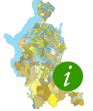
Navigation, interrogation and printing of basic cartography, plan cartography and thematic maps
Access from the menu on the left or consult the list
Help is available for correct navigation
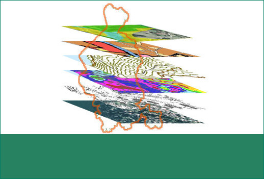
Within the navigable maps it is possible to download the geographic data in SHAPEFILE or DXF format with relative LYR
In order to download the data, registration on the portal is required by completing the appropriate form.

Possibility to build a personalized map starting from a basic background on which to load the layers of interest by choosing them from all the data available online.
Warning
The navigation services
and download
are optimized for
Google Chrome
The service includes the main basic map data that can serve as a background for creating personalized maps through the use of a user-owned gis program.
Contacts: sit@provincia.va.it
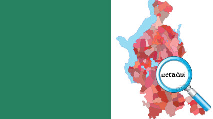
List of published and downloadable layers