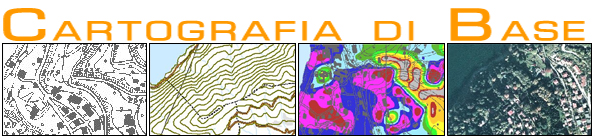
In this online basic cartography service, all the main map data that can be used by the citizen are published.
This map describes the territory in its settlement, infrastructural, orographic and administrative aspects.
Through the use of GIS techniques of elaboration of the Digital Model of the Soil various types of papers are also published: Slope map, Exhibition map and Hillshade.
Raster data of the Regional Technical Map are also available on a scale of 10,000 and 50,000,
digital color orthophotos 2003, 2007, 2012, 2015, 2018 and the black and white digital orthophotos 2005.
|